
 Acceder
 Español
 English
 Deutsch
La Palma D.O. / D.O.P.
 España


 922444432

Clasificación de cosechas de vinos jóvenes
Ver detalle de la La Palma D.O. / D.O.P.
FIGURES:
Vineyard surface (Has): 502 – Wine-Growers: 930 – Wineries: 19 – 2019 Harvest rating: N/A – Production 19: 478,670 L.– Market percentages: 99% National - 1% International.
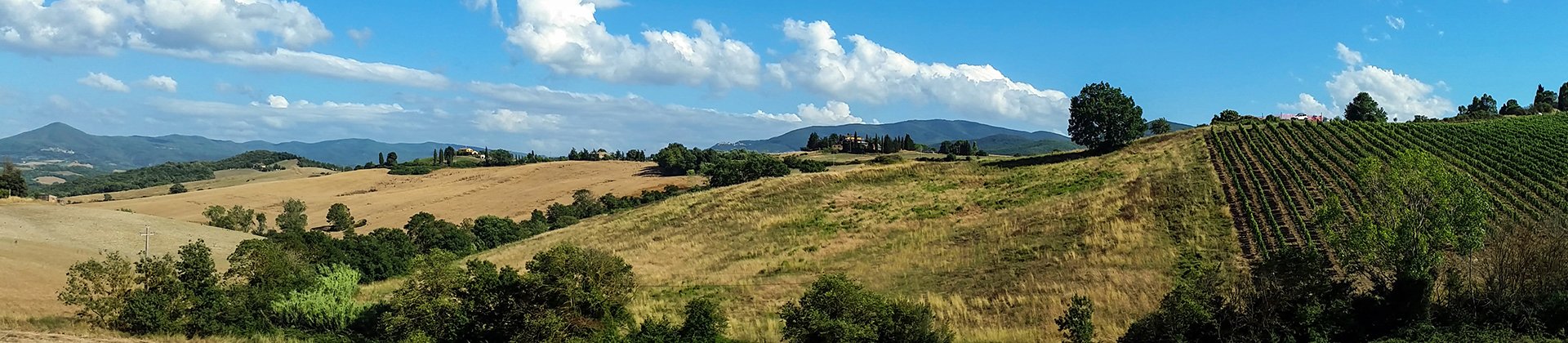
LOCATION:
The production area covers the whole island of San Miguel de La Palma, and is divided into three distinct sub-regions: Hoyo de Mazo, Fuencaliente and Northern La Palma.
SUB-REGIONS:
Hoyo de Mazo: It comprises the municipal districts of Villa de Mazo, Breña Baja, Breña Alta and Santa Cruz de La Palma, at altitudes of between 200 m and 700 m. The vines grow over the terrain on hillsides covered with volcanic stone (‘Empedrados’) or with volcanic gravel (‘Picón Granado’). White and mainly red varieties are grown.
Fuencaliente: It comprises the municipal districts of Fuencaliente, El Paso, Los Llanos de Aridane and Tazacorte. The vines grow over terrains of volcanic ash at altitudes of between 200 m and 1900 m. The white varieties and the sweet Malvasia stand out.
Northern La Palma: Situated at an altitude of between 100 m and 200 m, It comprises the municipal areas of Puntallana, San Andrés and Sauces, Barlovento, Garafía, Puntagorda and Tijarafe. The region is richer in vegetation and the vines grow on trellises and using the goblet system. The traditional ‘Tea’ wines are produced here.
CLIMATE:
This is the most north-westerly island of the archipelago of the Canary Islands. Its complex orography with altitudes which reach 2,400 metres above sea level make it a micro-continent with a wide variety of climates. The influence of the anti-cyclone of the Azores and the trade winds condition the thermal variables and the rainfall registered throughout the year. The greatest amount of rainfall is registered in the more easterly and northern parts of the island due to the entry of the trade winds. Throughout the north-east, from Mazo to Barlovento, the climate is milder and fresher, while the western part of the island has drier and warmer weather. The average rainfall increases from the coast as the terrain ascends. The greatest amount of rainfall is in the north and east of the island
SOIL:
The vineyards are situated at altitudes of between 200 m and 1,400 m above sea level in a coastal belt ranging in width which surrounds the whole island. Due to the ragged topography, the vineyards occupy the steep hillsides in the form of small terraces. The soil is mainly of volcanic origin.
GRAPE VARIETIES:
Últimas catas de la zona

Regístrate gratis y accede al contenido
- Descubre gratis los más de 12.000 vinos catados cada año.
- Encuentra los mejores bares y restaurantes donde se mima el vino.
- Recibe cada semana la newsletter con nuestro vino de la semana, el bar de moda y todo sobre el universo del vino.
¿Ya tienes cuenta en Peñín?
Acceder con mi cuenta
Sort by


Listado de bodegas
- Victoria Torres Pecis
- Bodegas El Hoyo
- Agrícola Velhoco
- Bodegas Carballo
- Carlos Fernández Felipe
- Cooperativa Agrícola Vírgen del Pino
- Eufrosina Pérez Rodríguez
- Jorge L. Rodríguez
- Las Toscas S.A.T.
- Bodegas Llanovid (Teneguía)
- Melquiades Camacho Hernández
- Onésima Pérez Rodríguez
- Bodega Perdomo S.A.T.
- Bodegas Tamanca
- Bodegas Noroeste de la Palma
- Bodega Castro y Mogan
- Llanovid, S.C.L. (LLanos Negros)
- La Casa del Volcán
- Luis Brito Sociedad Cooperativa
- Bodega mil7ochentaynueve
- Juan Jesús Pérez y Adrián
- José David Rodríguez Pérez
- Bodega José Alberto Tabares Pérez


